About
The Whaitua Map is an online mapping platform designed to visualise detailed information about local communities across Aotearoa. It highlights critical social and economic determinants of health such as healthcare access, housing quality, environmental conditions, and availability of services like vape shops, liquor outlets, and fast-food stores.
How it Works
Support the kaupapa
The vape shops, pokies and bottle stores don’t end up next to vulnerable communities by accident. It’s time we start questioning it. 🤔

Click to view on Facebook
Click to view on Instagram
Why Vaping
Vaping wasn’t built to keep you chill, it’s built to keep you hooked ![]() ! Here’s what the research is actually showing about the health impacts – especially for rangatahi. Some of this stuff might be new, some might confirm what you’ve been wondering about. Either way, it’s worth knowing.
! Here’s what the research is actually showing about the health impacts – especially for rangatahi. Some of this stuff might be new, some might confirm what you’ve been wondering about. Either way, it’s worth knowing. ![]()

Click to view on Instagram
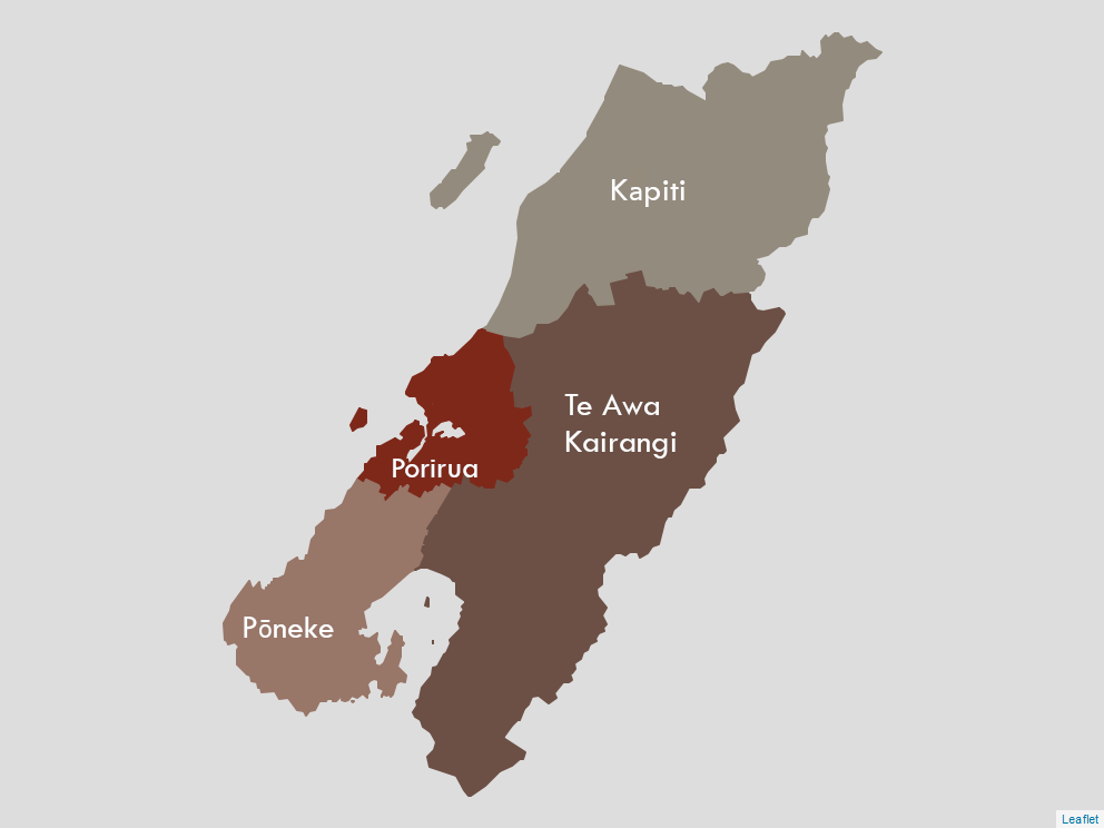
Our rohe | region
Whaitua
Our ĀATHPB rohe comprises the following whaitua areas – Kapiti, Porirua, Pōneke and Te Awa Kairangi. Within and across these four whaitua we serve a diverse population with wide-ranging needs and inconsistent access to appropriate health, disability, housing, transport and other services and social supports.
We currently in the process of developing an interactive platform that will show an evolving picture of the broader determinants which impact the hauora of whānau Māori who live within our rohe.